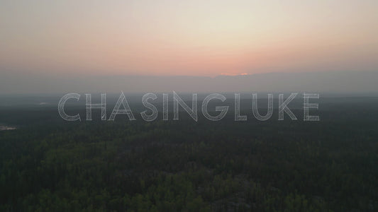
Ingraham Trail, Yellowknife Drone Footage | 4K Stock Video
The Ingraham Trail, stretching east from Yellowknife, Northwest Territories, is one of Canada’s most striking northern drives. A ribbon of asphalt winding through endless boreal forest, glassy lakes, and the quiet remains of history. Our 4K drone footage captures the wild, cinematic beauty of this region just outside Yellowknife.
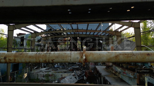
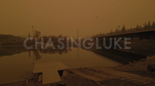
From Prosperous Lake’s mirror reflections to the Ptarmigan Mine ruins, the footage highlights both the natural serenity and industrial heritage of the north. Whether you’re producing a documentary, tourism film, environmental project, or creative short, these royalty-free aerial clips bring the Northwest Territories to life from above.
The Ingraham Trail is one of Yellowknife’s signature routes. For additional aerial views from the city and surrounding lakes, explore our fullYellowknife Drone Footage collection.
Great for for independent creators, websites, and small businesses with limited distribution needs.
Enhanced License
Enhanced license covers large-scale use, including national broadcast, commercial products, and unlimited distribution. But not resale or redistribution of the footage itself as a stock asset. Contact us for custom rights if needed.
FAQ: Ingraham Trail Stock Footage
Can I use Ingraham Trail drone footage for YouTube?
Yes, you can use Ingraham Trail drone footage on YouTube. The Standard License covers up to 500,000 views. For unlimited YouTube reach, choose the Enhanced License.
Do you offer commercial licensing?
Yes, commercial licensing is available. Choose the Standard License for smaller-scale commercial projects, or the Enhanced License for large-scale or unlimited commercial use. For unique use cases, contact us.
What formats do you deliver?
Clips are typically 4K UHD in H.264/H.265 at 29.97fps. Check each product page for exact resolution, frame rate, and codec details.